-
 The Connecticut County map provides a visual representation of the political divisions and county seats within the state of Connecticut, United States. It offers valuable information about the boundaries and organization of districts, counties, and their corresponding county seats.
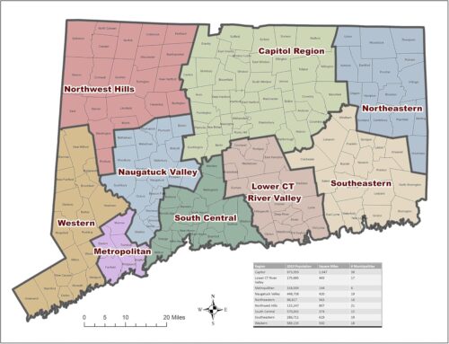